12 Best Printable States and Capitals Map Resources (2025)
Find the perfect printable states and capitals map for your classroom or home. We review 12 top free and premium resources for quizzes, games, and learning.
Learning the 50 states and their capitals is a foundational geography skill, but finding the right tools can be a significant challenge. A high-quality printable states and capitals map is essential for educators, parents, and enthusiasts alike. Whether you need a blank outline for a pop quiz, a colorful labeled map for a classroom wall, or an interactive worksheet for homework, the perfect resource is out there waiting for you. This guide cuts through the clutter to bring you the 12 best options, from free, quick-download PDFs to comprehensive, teacher-vetted bundles available online.
We will analyze each resource for its specific use cases, highlighting practical benefits and potential limitations to help you choose the best fit for your learning objectives. Each entry includes direct links and guidance to streamline your search. For those looking to move beyond standard paper prints, a complete DIY guide for a world map wall sticker can help create a large-scale, immersive learning tool right at home. This curated list ensures you spend less time searching and more time learning. Get ready to print, study, and master U.S. geography with the best resources available.
1. Teachers Pay Teachers (TpT): Best for Teacher-Vetted Resources
Teachers Pay Teachers (TpT) is a massive online marketplace where educators create, share, and sell original teaching materials. When searching for a printable states and capitals map, this platform is unparalleled because its resources are crafted by teachers for teachers, ensuring they are practical, engaging, and curriculum-aligned. The sheer volume and variety mean you can find everything from a simple black-and-white map to comprehensive, multi-day lesson packets.
The primary advantage of TpT is its robust user review and rating system. You can see how many times a resource has been downloaded and what other educators thought of it, which helps filter out lower-quality materials. Resources range from free to paid, with most paid items being very affordable, often just a few dollars for a high-quality, reusable digital download. The platform offers instant access to purchased files.
Key Features & Offerings
- Resource Variety: Find labeled maps, blank quiz maps, interactive notebook pages, cut-and-paste activities, and even digital versions for Google Classroom.
- Peer-Reviewed Quality: User ratings and detailed comments provide confidence in a resource's effectiveness before you purchase.
- Pricing Model: Offers a mix of free and premium resources, with most paid items priced between $1 and $10.
To get the most out of TpT, use the search filters to narrow results by grade level, subject, and resource type. Look for "Top Sellers" or highly-rated items to quickly find proven materials.
Website: https://www.teacherspayteachers.com/
2. Education.com: Best for Standards-Aligned Worksheets
Education.com is a comprehensive learning library offering worksheets, online games, and lesson plans aligned with educational standards. For those seeking a printable states and capitals map, this platform excels at providing high-quality, professionally designed resources specifically for elementary and middle school grades. You can find everything from a basic labeled U.S. map to multi-page worksheet packets that combine geography with other skills like reading comprehension.
The main advantage of Education.com is its strong editorial quality and curriculum focus. Each resource is clearly marked with the corresponding grade level, ensuring the material is age-appropriate. While many resources are free, accessing the full library, including complete worksheet sets and answer keys, often requires a premium subscription. The platform’s clean interface and powerful filtering tools make it easy to find precisely what you need for a specific lesson or homework assignment.
Key Features & Offerings
- Standards-Aligned Content: Activities are designed to meet specific educational standards, making them perfect for classroom use.
- Variety of Formats: Offers map labeling exercises, fill-in-the-blank capital quizzes, and complete practice sets with answer keys.
- Grade-Level Filtering: Easily sort resources by grade (e.g., 3rd, 4th, 5th) to find the most suitable maps and activities.
To get started, use the search bar for "states and capitals map" and then use the filters on the left to narrow down by grade and subject. A free account is required to download even the free materials.
Website: https://www.education.com/
3. Super Teacher Worksheets: Best for Classroom-Ready Quizzes
Super Teacher Worksheets is a well-established resource hub for educators, particularly in the K-6 space, offering a treasure trove of printable materials. For those needing a printable states and capitals map, this site excels at providing classroom-ready worksheets, quizzes, and practice sheets with a consistent and clean format. It's the ideal destination for teachers who need reliable, no-fuss materials that are ready to print and distribute for immediate use.
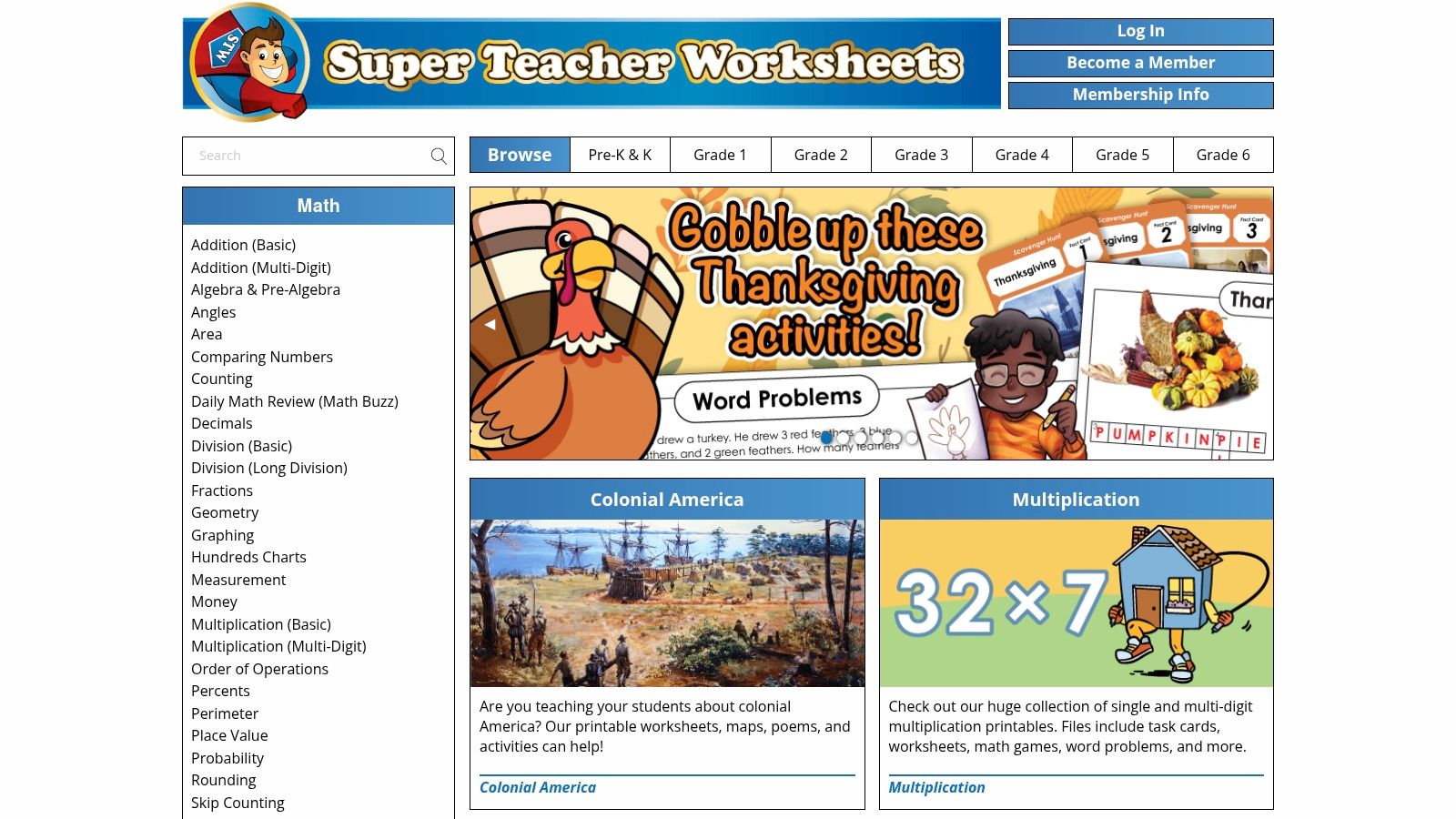
The platform's main advantage is its focus on structured learning activities. You'll find a great variety of numbered-map quizzes where students fill in the state or capital, along with matching games and regional worksheets. Crucially, every worksheet comes with a corresponding answer key, saving educators valuable preparation time. While some worksheets are available for free, a membership is required to unlock the full collection, which is a key consideration for access.
Key Features & Offerings
- Classroom-Ready PDFs: All resources are designed for easy printing and classroom use, complete with clear instructions and answer keys.
- Variety of Activities: Offers practice sheets, numbered quizzes, matching games, and regional map activities to reinforce learning.
- Pricing Model: Provides a limited selection of free worksheets, with full access to thousands of resources locked behind an affordable annual membership.
For best results, browse the U.S. Geography section to find maps categorized by region (Northeast, South, etc.) or specific skills. The membership unlocks the entire library, which is a worthwhile investment for educators who need consistent, high-quality materials throughout the school year.
Website: https://www.superteacherworksheets.com/
4. Enchanted Learning: Best for Elementary Students
Enchanted Learning is a classic educational website that has been a go-to resource for elementary teachers and homeschooling parents for years. Its strength lies in its simplicity and direct focus on foundational learning. When you need a straightforward printable states and capitals map, the site offers clean, kid-friendly outline maps and "Label Me!" activities that are perfect for younger learners who are just beginning to explore U.S. geography.
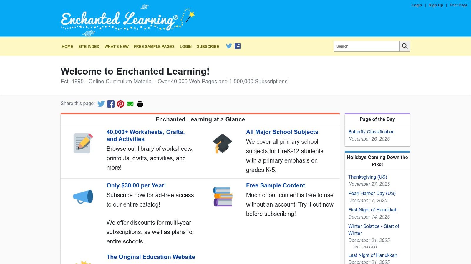
While the site's design is basic and somewhat dated, its content is well-organized and easy to navigate. The primary advantage is the sheer volume of printable worksheets available for a wide range of subjects beyond just geography. A low-cost membership is required for an ad-free experience and full access to all printable materials, but many resources are available for free with ads. This makes it a highly practical choice for quick, no-fuss classroom activities.
Key Features & Offerings
- Simple Outline Maps: Provides clean, easy-to-label maps of the United States, perfect for coloring and memorization.
- "Label Me!" Worksheets: Offers interactive printables where students must fill in the states and capitals, with corresponding answer keys provided.
- Pricing Model: Many resources are free with ads; a subscription (starting at $20/year) unlocks the full, ad-free site.
For best results, use the site's internal search to find "U.S. map" or "U.S. capitals" to quickly access the relevant printables. The simple design works well for direct printing without needing to adjust complex settings.
Website: https://www.enchantedlearning.com/
5. 50states.com: Best for Quick, No-Frills Maps
For those needing a straightforward, no-cost printable states and capitals map, 50states.com is a classic and reliable resource. It strips away the complexity of educational marketplaces and provides direct access to simple, clean maps of the United States. This website is the ideal destination for anyone who needs a basic labeled or blank map for a quick quiz, a study guide, or a simple classroom activity without navigating through extensive lesson plans or design options.
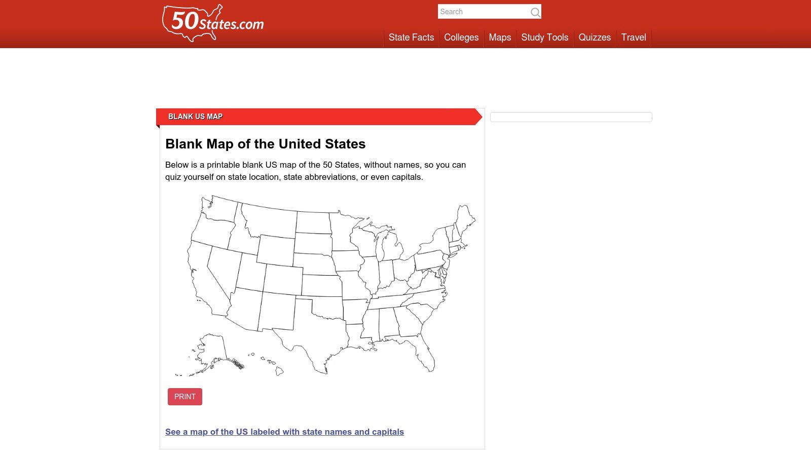
The primary appeal of 50states.com is its simplicity and speed. There are no accounts to create or filters to apply; you land on the page and the maps are ready to print or download. While it lacks the curated, stylized worksheets of other platforms, its directness is a significant advantage. Beyond maps, the site serves as a handy reference tool, with dedicated pages for each state that list key facts, including the capital city. Its no-frills approach makes it a valuable resource for fast, functional printouts.
Key Features & Offerings
- Map Variety: Provides a basic labeled U.S. map, a blank U.S. map for quizzes, and individual state maps.
- State-Specific Information: Each state has a linked page containing its capital, population, and other key facts for easy reference.
- Pricing Model: Completely free to access and use, with no sign-up or payment required.
To get the most out of the site, use the blank map for practice quizzes. You can also explore the site's other offerings, which are similar in scope to a blank map of the Americas by providing a foundational tool for broader geography lessons.
Website: https://www.50states.com/maps/usamap.htm
6. FreeUSAMaps.com: Best for High-Resolution & Editable Maps
FreeUSAMaps.com is a straightforward resource ideal for users who need a high-quality, print-ready printable states and capitals map without the clutter of worksheet-style add-ons. The site specializes in offering clean, professional-grade U.S. maps, making it perfect for creating posters, large-format study guides, or custom classroom displays. It provides a simple tiered approach: a free, low-resolution version for quick digital use and a premium package for superior print quality.
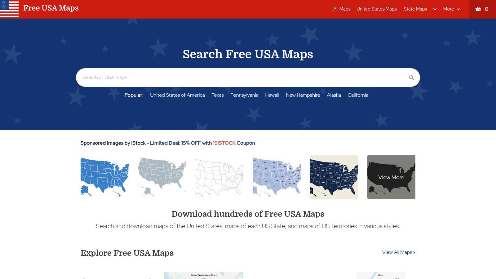
The standout feature is the paid option, which, for a one-time fee of $9.99, gives you a bundle including high-resolution JPG and editable vector PDF files. This is a significant advantage for anyone looking to customize a map, such as highlighting specific states, adding labels, or scaling it for large prints without losing quality. While the free version requires attribution, the affordable premium license removes this requirement and unlocks the map's full potential for both personal and educational projects. Its focused approach makes it a great source for a standalone map that can be incorporated into a custom printable states and capitals quiz.
Key Features & Offerings
- File Formats: Offers free low-resolution JPGs and a premium bundle with high-resolution JPG and editable vector PDF files.
- Print Quality: Paid versions are designed for high-DPI, large-format printing, ensuring crisp and clear text and borders.
- Pricing Model: A free-to-use option is available with attribution, while the premium bundle costs a one-time fee of $9.99.
This site is best for users who prioritize image quality and customization over pre-made educational activities. The editable vector file is a rare and valuable feature in this price range.
Website: https://www.freeusamaps.com/
7. USAMap.net: Best for Quick, Print-Optimized Maps
USAMap.net is a straightforward, no-frills resource dedicated to providing clean, high-quality printable maps of the United States. If you need a printable states and capitals map without navigating a complex marketplace, this site is a top choice. It offers several core variations of the U.S. map, all optimized for easy printing on standard home or office printers, making it perfect for quick study sessions, classroom handouts, or travel planning.
The primary advantage of USAMap.net is its simplicity and immediate access. All maps are available for free download as PDF files, formatted for both US Letter and A4 paper sizes. This focus on print-readiness ensures high-contrast labels and clear state boundaries, so you get a legible map every time. While it lacks the interactive worksheets found on other platforms, its value lies in providing a reliable, go-to source for essential U.S. map layouts. For those looking for broader geographical resources, this site also offers a printable map of North America.
Key Features & Offerings
- Map Variations: Provides multiple versions including blank, labeled with state names, and a detailed map with states and capitals.
- Print-Ready Files: All maps are high-resolution PDFs specifically designed for standard US Letter and A4 paper sizes.
- Pricing Model: Completely free to download and use for any non-commercial purpose.
This site is best for anyone who needs a classic states and capitals map quickly without any extra features. Just visit the site, choose your preferred map style, and click to download the PDF.
Website: https://www.usamap.net/printable/
8. The50UnitedStates.com: Best for Simple, Free Map Downloads
The50UnitedStates.com is a straightforward, no-frills educational website dedicated entirely to U.S. geography. It stands out by offering a clean, direct approach for anyone needing a printable states and capitals map without navigating complex menus or sign-up forms. The site is a perfect quick-stop resource for parents, students, or educators who need a reliable map and supplementary learning tools instantly and for free.
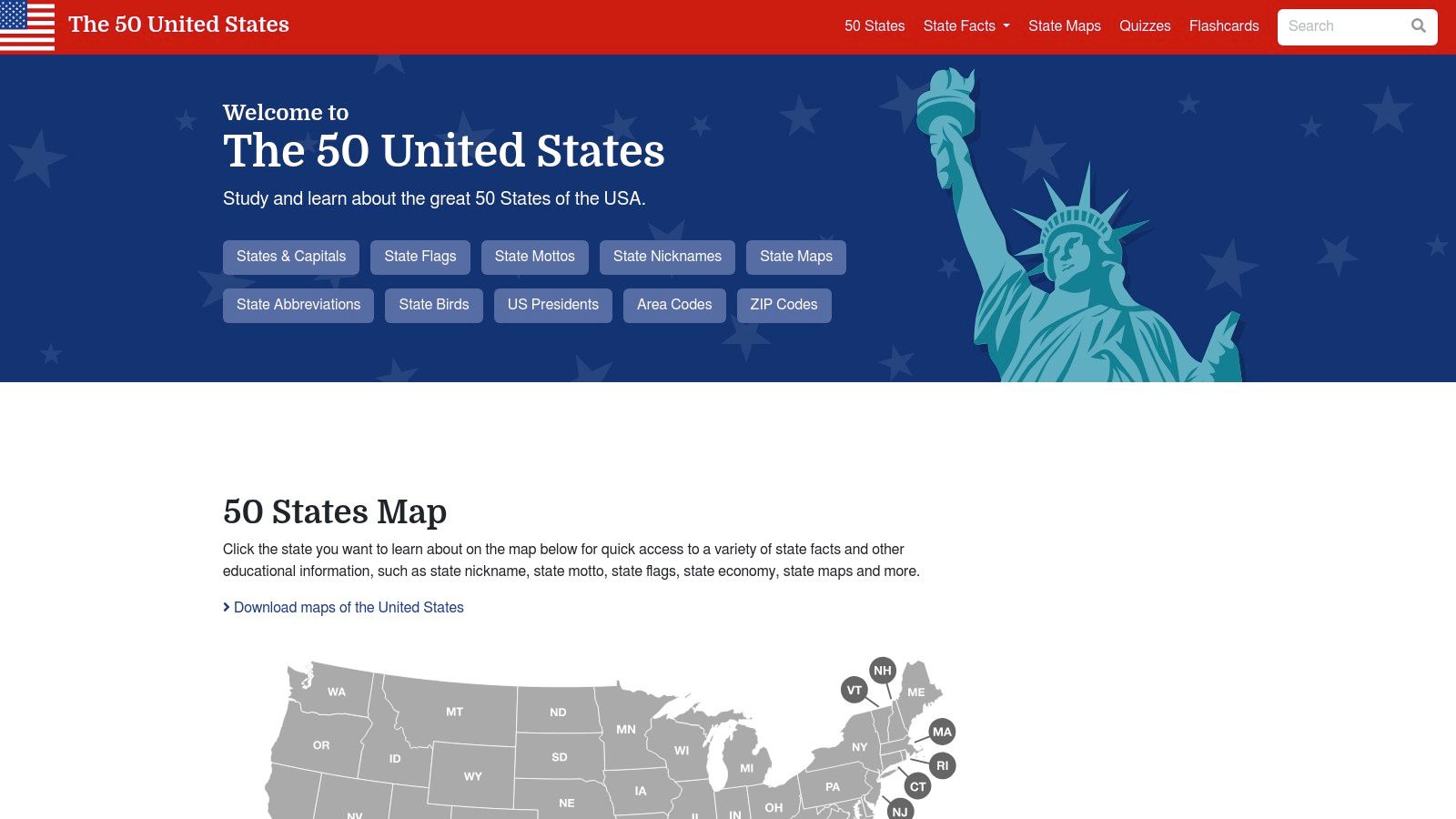
The main appeal of this platform is its simplicity and focus. You can download clear, legible PDF maps with just one click. While the design is basic and the site is ad-supported, its core offering is high-quality and completely free. The inclusion of interactive quizzes and flashcards makes it more than just a map repository; it's a complete, self-contained learning hub for mastering states and capitals.
Key Features & Offerings
- Free PDF Maps: Provides easily accessible, high-resolution PDFs of both labeled and blank U.S. maps showing states and capitals.
- Supplementary Tools: Reinforces learning with online quizzes, printable flashcards, and detailed information pages for each state.
- Pricing Model: All resources on the site are 100% free, supported by on-page advertisements.
For the most effective use, pair the blank map PDF with the site's online quizzes. Have students or learners attempt to fill out the map first, then use the interactive quizzes to check their knowledge and reinforce memorization.
Website: https://the50unitedstates.com/
9. Etsy: Best for Stylistic Variety and Wall Decor
Etsy is a global online marketplace known for handmade and vintage items, but it's also a treasure trove for digital downloads. For those seeking a printable states and capitals map with a specific aesthetic, Etsy excels by offering an enormous range of designs from independent creators. You can find everything from minimalist black-and-white posters to colorful, whimsical maps perfect for a child's bedroom or a modern classroom. The platform is ideal when visual appeal is as important as educational content.
The key advantage of Etsy is the sheer artistic diversity and the availability of high-resolution files suitable for large-format printing. Many sellers offer instant digital downloads in multiple sizes (PDF/JPG), allowing you to print a high-quality poster at a local print shop. While quality can vary between sellers, the platform's review and rating system helps you vet products and find reputable creators. Most digital maps are affordably priced, offering a custom look for a few dollars.
Key Features & Offerings
- Stylistic Variety: Discover unique artistic styles, from modern and boho to vintage and educational chart designs.
- High-Resolution Files: Many sellers provide files designed for large poster printing, ensuring crisp and clear wall decor.
- Seller Reviews: User ratings and photo reviews provide insight into the final printed quality and seller reliability.
- Instant Downloads: Purchase and receive your digital files immediately, ready for printing at home or professionally.
When searching on Etsy, use specific keywords like "classroom states map" or "minimalist US map" to narrow down the vast selection. Always check the item description for included file sizes and usage rights before purchasing.
Website: https://www.etsy.com/market/states_and_capitals_printable
10. Walmart: Best for Durable, Pre-Printed Wall Maps
While not a source for an instantly printable states and capitals map, Walmart is an excellent, budget-friendly option for those seeking durable, pre-printed physical maps. The major retailer offers a wide selection of large format wall maps, laminated posters, and educational charts from well-known brands like Rand McNally and National Geographic. This makes it ideal for parents, teachers, or enthusiasts who want a permanent, high-quality map for a classroom, office, or playroom wall without the hassle of printing and assembling it themselves.
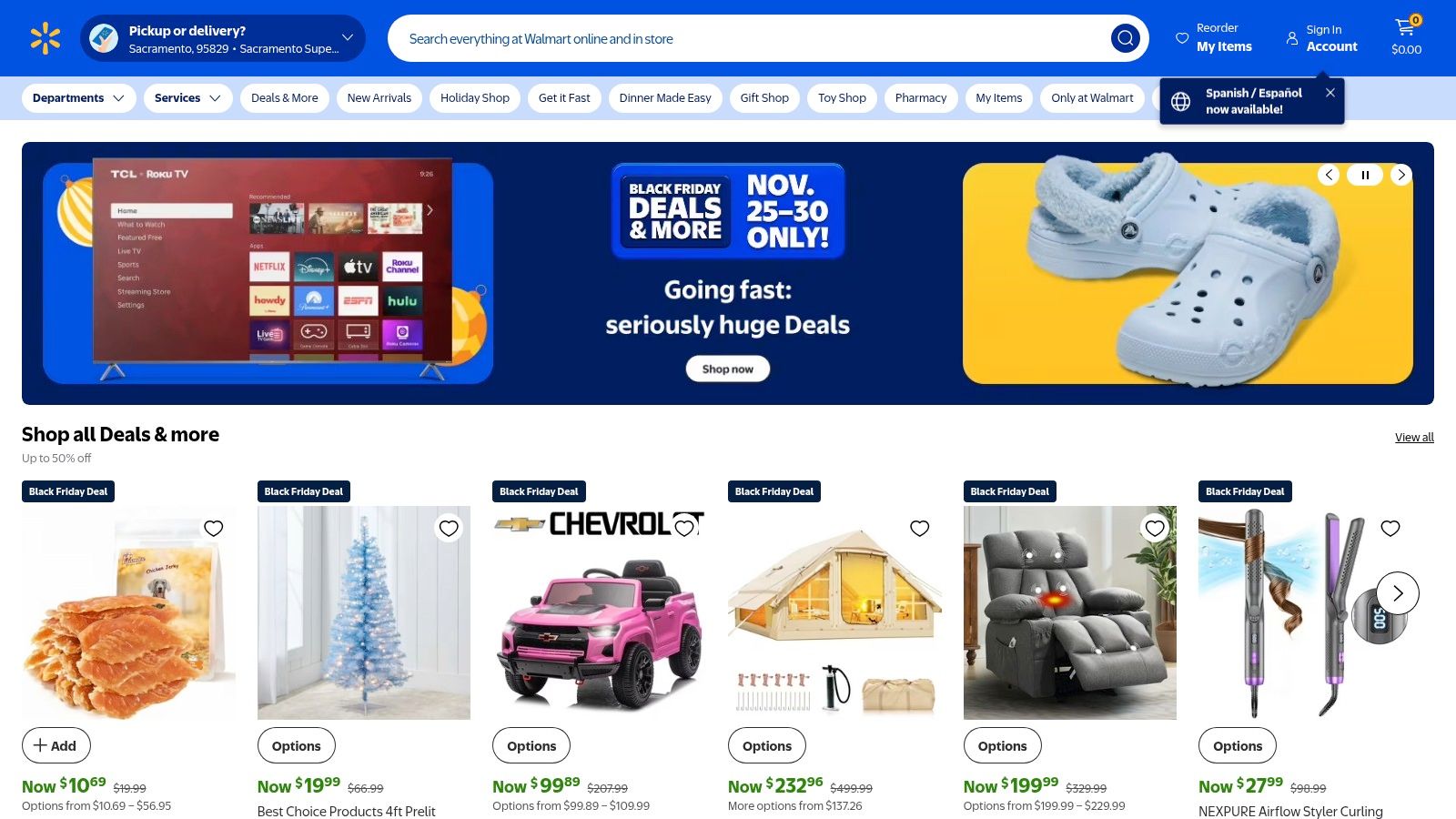
The main advantage of buying from Walmart is the combination of affordability, convenience, and durability. Many laminated options are available for under $20, offering a tear-resistant and reusable resource that can be written on with dry-erase markers. With options for nationwide shipping, in-store pickup, and a familiar online shopping experience, acquiring a high-quality map is quick and straightforward.
Key Features & Offerings
- Durable Formats: Specializes in laminated and heavy-duty paper posters that are ready to hang and built to last.
- Trusted Brands: Carries maps from reputable publishers, ensuring geographical accuracy and high-quality printing.
- Convenient Access: Easy to order online for delivery or same-day pickup at thousands of locations nationwide.
To find the best options, use the search bar for "USA map with capitals" and filter by customer rating or brand. Check product descriptions carefully to confirm the map includes state capitals and is the desired size and material.
Website: https://www.walmart.com/
11. Lakeshore Learning: Best for Classroom-Grade Physical Maps
Lakeshore Learning is a well-known retail store and online shop dedicated to educational materials for teachers and parents. While not a primary source for a directly printable states and capitals map, it excels in offering high-quality, durable, and classroom-ready physical products. Their selection includes large-format posters and learning sets designed for repeated use in an educational environment, making them a great supplement to digital or printable resources.
The advantage of Lakeshore is the professional quality of its materials. The maps are often large (e.g., 17" x 22"), laminated, and visually clear for classroom display. Many of their chart packs come with reproducible activities on the back, which can be photocopied for student practice. However, the focus is on physical goods, so instant downloads are not their main offering, and some items are only available via shipping or in-store pickup.
Key Features & Offerings
- Classroom-Ready Posters: Find large, durable, and often laminated maps of the United States with states and capitals clearly labeled.
- Reproducible Activities: Some posters and learning sets include black-and-white activity sheets on the back that can be copied for quizzes or worksheets.
- Physical Stores: With numerous U.S. store locations, many items can be picked up in person, avoiding shipping costs and delays.
When browsing their site, pay close attention to the product details to see if an item is shippable, available for pickup, or includes reproducible components you can use.
Website: https://www.lakeshorelearning.com/
12. Barnes & Noble: Best for Professional Wall Maps
For those who need a high-quality, professionally printed map rather than a quick digital download, Barnes & Noble is an excellent resource. The bookstore carries a curated selection of maps from trusted cartographic brands like Rand McNally and National Geographic. While not a source for a printable states and capitals map in the digital sense, it’s the top choice for acquiring a durable, accurate, and large-format physical map for a classroom, office, or study area.
The primary advantage here is the editorial-grade quality and accuracy you get from established names in cartography. These maps are designed for clarity and longevity, often available in laminated or tear-resistant formats. You can find various sizes, from standard poster dimensions to large-scale wall maps, with clearly labeled states and capitals. This makes them ideal for permanent display and frequent reference.
Key Features & Offerings
- Trusted Brands: Features maps from cartography leaders like Rand McNally and National Geographic, ensuring accuracy and quality.
- Multiple Formats: Maps are available in rolled, folded, and laminated versions to suit different display and durability needs.
- Physical Purchase: Offers ship-to-home and in-store pickup options, providing a tangible, high-resolution product.
While you cannot customize or instantly print these maps, they offer a professional and lasting alternative for anyone needing a reliable U.S. states and capitals reference.
Website: https://www.barnesandnoble.com/
Printable States & Capitals Maps — 12-Source Comparison
| Resource | Core features | Quality (★) | Price / Value (💰) | Best for (👥) | Unique selling points (✨🏆) |
|---|---|---|---|---|---|
| Teachers Pay Teachers (TpT) | Marketplace of teacher-created printable PDFs; instant downloads; answer keys | ★★★☆☆ (varies) | 💰 Very low — many items $1–$5 | 👥 K–8 teachers, classroom planners | ✨Huge variety & teacher-curated; 🏆instant, classroom-ready resources |
| Education.com | Standards-aligned worksheets, filtering by grade/skill, printable answer keys | ★★★★☆ | 💰 Mix of free + Premium gated content | 👥 Elementary teachers, standards-driven classrooms | ✨Editorial quality & grade filters; good breadth per grade |
| Super Teacher Worksheets | K–6 map worksheets, quizzes, numbered-map tests, answer keys | ★★★★☆ | 💰 Low with membership for full access | 👥 Elementary teachers, quiz/test prep | ✨Consistent classroom formatting; 🏆wide variety of tests & games |
| Enchanted Learning | Kid-friendly outline maps and labeling activities with answer pages | ★★★☆☆ | 💰 Mostly free; low-cost ad-free membership | 👥 Early elementary, homeschoolers | ✨Simple, kid-focused printables; easy for young learners |
| 50states.com | Quick blank/labeled maps, state pages with facts and capitals | ★★★☆☆ | 💰 Free, no-frills downloads | 👥 Teachers needing fast printables, quiz makers | ✨Fast access & straightforward maps; widely referenced |
| FreeUSAMaps.com | Free low-res JPGs; paid hi-res & editable vector PDF bundle ($9.99) | ★★★★☆ | 💰 Free or $9.99 pro bundle for hi-res/vector | 👥 Designers, poster printing, teachers needing large prints | ✨Editable vector PDFs & clear DPI specs; 🏆budget pro option |
| USAMap.net | Multiple printable variants (blank, labeled, cities), optimized PDFs | ★★★★☆ | 💰 Free downloads | 👥 Home/school users needing printer-ready PDFs | ✨High-contrast, printer-optimized files; easy US Letter/A4 options |
| The50UnitedStates.com | Labeled/blank PDFs plus quizzes and flashcards | ★★★☆☆ | 💰 Free educational downloads | 👥 Students and teachers doing capitals practice | ✨Includes quizzes & flashcards for reinforcement |
| Etsy | Seller marketplace for printable PDFs/JPGs/posters in many styles | ★★★☆☆ (varies) | 💰 Variable — many paid instant downloads | 👥 Teachers wanting stylistic or poster-quality files | ✨Huge stylistic variety & large poster files; seller previews |
| Walmart | Physical wall maps & laminated posters from multiple brands | ★★★★☆ | 💰 $ — durable posters often under $30 | 👥 Classrooms needing durable, ready-to-hang displays | ✨Nationwide availability & branded large-format options; 🏆convenience |
| Lakeshore Learning | Classroom-grade posters & reproducible activity sets | ★★★★☆ | 💰 Mid-range; frequent promotions | 👥 Teachers seeking classroom-ready durable materials | ✨Teacher-focused designs with reproducible activities; good pickup options |
| Barnes & Noble (Rand McNally / NatGeo) | Trusted cartographic brands; laminated/rolled/paper maps | ★★★★☆ | 💰 Mid-range for brand-quality maps | 👥 Schools/offices wanting editorial-grade accuracy | ✨Accurate, brand-name cartography; 🏆high editorial quality |
Bringing Your Geography Lessons to Life
The journey through the United States, from Alabama to Wyoming, doesn't have to be a daunting task of rote memorization. As we've explored, the right printable states and capitals map can transform geography from a static list of names into a dynamic and interactive adventure. The sheer variety of available resources means there is a perfect fit for every learning environment, whether you are a teacher designing a curriculum, a parent supporting a student, or a trivia enthusiast sharpening your skills.
We have navigated a diverse landscape of tools, from the comprehensive, educator-vetted worksheets on platforms like Teachers Pay Teachers and Education.com to the highly detailed and customizable files offered by sites such as FreeUSAMaps.com. For those seeking tactile, hands-on activities, the cut-and-paste maps and quiz formats provide an excellent way to build spatial memory. Conversely, for a more permanent and visually appealing reference, the high-quality physical maps from retailers like Lakeshore Learning or Barnes & Noble offer durability and professional detail.
Key Takeaways and Next Steps
Making the most of these resources requires a clear understanding of your goals. Before you press print, take a moment to reflect on your specific needs:
- For Quick Assessment: If you need a fast and effective way to gauge knowledge, the blank or numbered quiz maps from Super Teacher Worksheets or Enchanted Learning are ideal. They are designed for straightforward testing and reinforcement.
- For Deep Engagement: To foster a more profound connection with the material, consider project-based activities. Use a labeled reference map alongside a blank one to create a research project where learners add state flags, major cities, or economic data.
- For Long-Term Reference: When you need a durable classroom anchor chart or a decorative piece for a study area, investing in a professionally printed map from Walmart or a specialty retailer ensures longevity and clarity.
Once you have selected the ideal printable states and capitals map, pay close attention to your print settings. The quality of your final product hinges on factors like paper type, ink levels, and printer resolution. To guarantee crisp and clear results without wasting resources, it's wise to review best practices and learn how to avoid common printing mistakes that can affect quality and legibility.
Ultimately, a map is more than just a piece of paper; it is a gateway to understanding the vast and varied geography of a nation. By choosing wisely and implementing creatively, you can unlock a world of learning and discovery. Happy mapping!
Ready to put your newly honed geography skills to the ultimate test? Take your knowledge from the paper map to a vibrant, 3D world with EarthChasers. See if you can pinpoint capitals and navigate states in our immersive geo-discovery game, turning your memorization into a real adventure. Start your exploration on EarthChasers today!