Discover the blank map of south america and central america: Top Resources 2025
Get the blank map of south america and central america with 12 top resources, templates, and tips to download and use instantly.
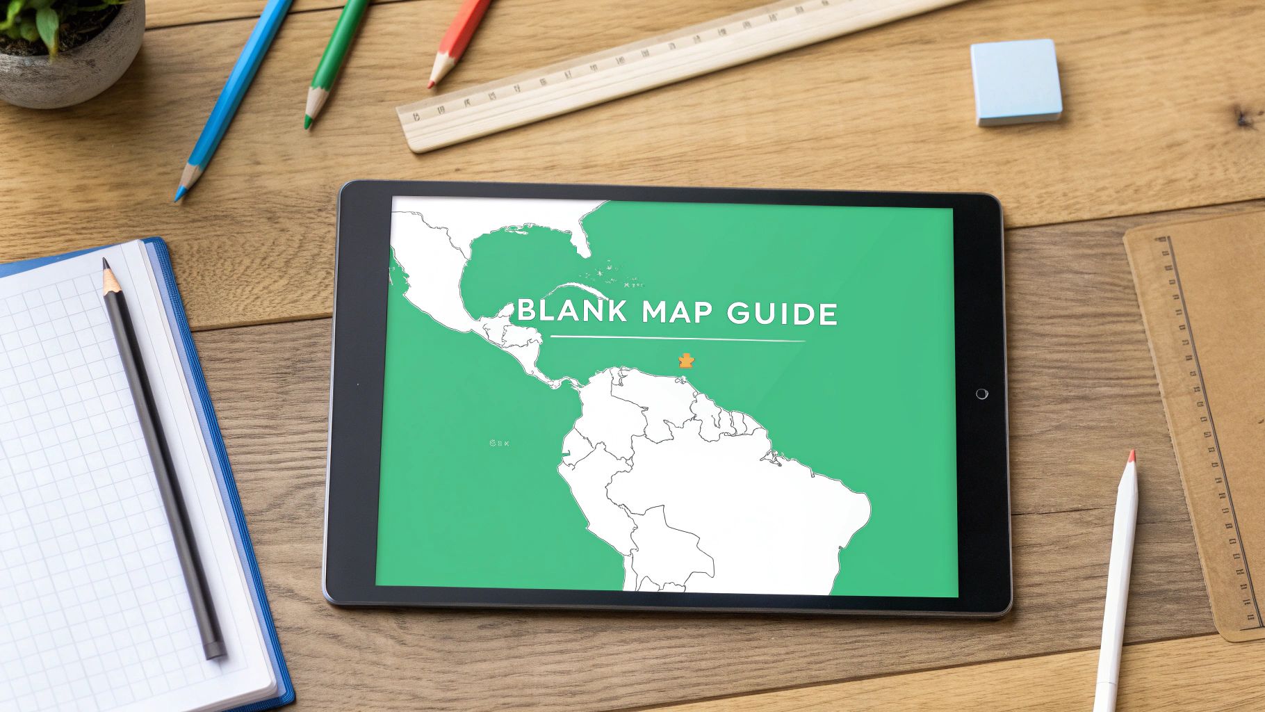
Whether you're an educator preparing a geography lesson, a student studying for an exam, or a creator designing a project, finding a high-quality blank map of South America and Central America is essential. The right map can transform a lesson from a simple memorization task into an interactive exploration. However, the web is filled with options of varying quality, from pixelated JPEGs to complex vector files that require specialized software.
This curated guide cuts through the noise. We've compiled 12 of the best resources for printable PDFs, editable SVGs, transparent PNGs, and classroom-ready worksheets. Each selection is analyzed for its practical use, licensing, and limitations, helping you find the perfect map without the endless searching.
We'll explore options ideal for quick printouts, professional design work, and engaging educational activities. You'll find direct download links and clear screenshots for each source, including options from dedicated educational platforms like Super Teacher Worksheets and versatile repositories like Wikimedia Commons. Our goal is to provide a clear, scannable resource that gets you to the best map for your specific needs quickly, so you can focus on your project, lesson, or game.
1. Super Teacher Worksheets
Super Teacher Worksheets is a trusted resource hub designed specifically for educators and homeschooling parents. Its primary strength lies in its extensive collection of curriculum-aligned, ready-to-print PDFs, making it an excellent choice for quick classroom handouts or homework assignments. The platform offers a variety of formats, including a completely blank map of South America and Central America, numbered versions for quizzes, and fully labeled maps for study guides.
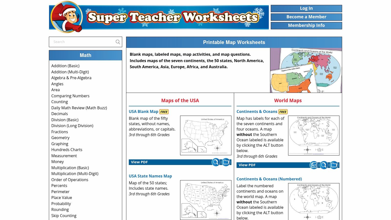
The content is tailored for grades 3-6, with clear, simple layouts that are easy for young learners to understand. While a selection of maps is available for free, the full library of thousands of worksheets requires a paid membership. The focus on non-editable PDFs is a drawback for users needing customization, but it's a feature for educators who just need a reliable, print-and-go solution.
Key Features & Assessment
- Format: Printable PDF
- Customization: None (fixed layouts)
- Best For: Classroom activities, quizzes, and homework for grades 3-6.
- Licensing/Cost: Some free downloads; full access requires an annual membership ($24.95).
Practical Tip: Use the numbered blank maps for a quick "Map Quest" activity. Call out country numbers and have students race to identify them.
Link: Super Teacher Worksheets Maps
2. Twinkl
Twinkl is a comprehensive platform providing teacher-made resources, making it a go-to for educators seeking curriculum-aligned materials. It offers a massive library of display posters, activity sheets, and map resources, including various versions of a blank map of South America and Central America. The platform's strength is its integration into themed geography units, allowing teachers to download entire bundles that save significant planning time.
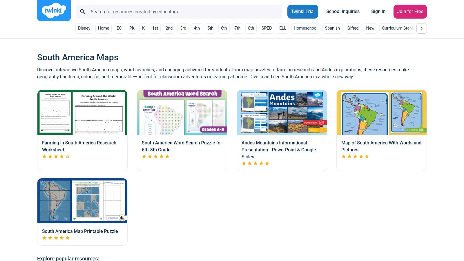
The resources are specifically designed for classroom use, particularly for elementary and KS2 students. While many of the best resources are behind a subscription paywall, the quality and breadth of the catalog often justify the cost for busy educators. Some materials even offer an editable option, providing a degree of flexibility not found in standard PDF-only sites. However, users should note that some content is regionally specific and may need slight adaptation for different international curricula.
Key Features & Assessment
- Format: Printable PDF, editable documents
- Customization: Some resources are editable
- Best For: Integrated classroom units, display posters, and elementary geography activities.
- Licensing/Cost: Some free resources available; full access requires a monthly or annual subscription (starting from $5/month).
Practical Tip: Download a complete South America geography bundle to get maps, fact files, and flag activities that create a cohesive and engaging lesson plan with minimal prep.
Link: Twinkl South America Geography Collection
3. Education.com
Education.com serves as a massive digital workbook for K-8 students, offering thousands of guided lessons, printable worksheets, and interactive games. Its strength is providing curriculum-aligned resources that are easy for teachers and parents to find and assign. For geography, it offers a solid blank map of South America and Central America formatted as a one-page "label-and-research" style worksheet, perfect for reinforcing location knowledge.
The platform is designed for quick, practical use, allowing educators to integrate worksheets into assignment collections and track student progress. While the graphics are simpler and not vector-editable, they are clean and functional for classroom handouts. A selection of worksheets is free, but full access to its extensive library and advanced features requires a premium membership.
Key Features & Assessment
- Format: Printable PDF Worksheets
- Customization: None (fixed worksheets)
- Best For: Quick practice, homework assignments, and assessments for K-8.
- Licensing/Cost: Limited free access; full access requires a premium monthly or annual membership (starting at $15.99/month).
Practical Tip: Pair this worksheet with an interactive online activity. Have students fill out the map after completing an engaging Central America map quiz to solidify their learning.
Link: Education.com Central America Map Worksheet
4. Teachers Pay Teachers
Teachers Pay Teachers (TpT) is a massive online marketplace where educators create and sell their own teaching materials. Its strength lies in the sheer variety of resources available, from simple printables to comprehensive unit plans. For those seeking a blank map of South America and Central America, TpT offers countless options created by teachers, often bundled with quizzes, worksheets, and digital activities in formats like PDF, PNG, or even editable files.
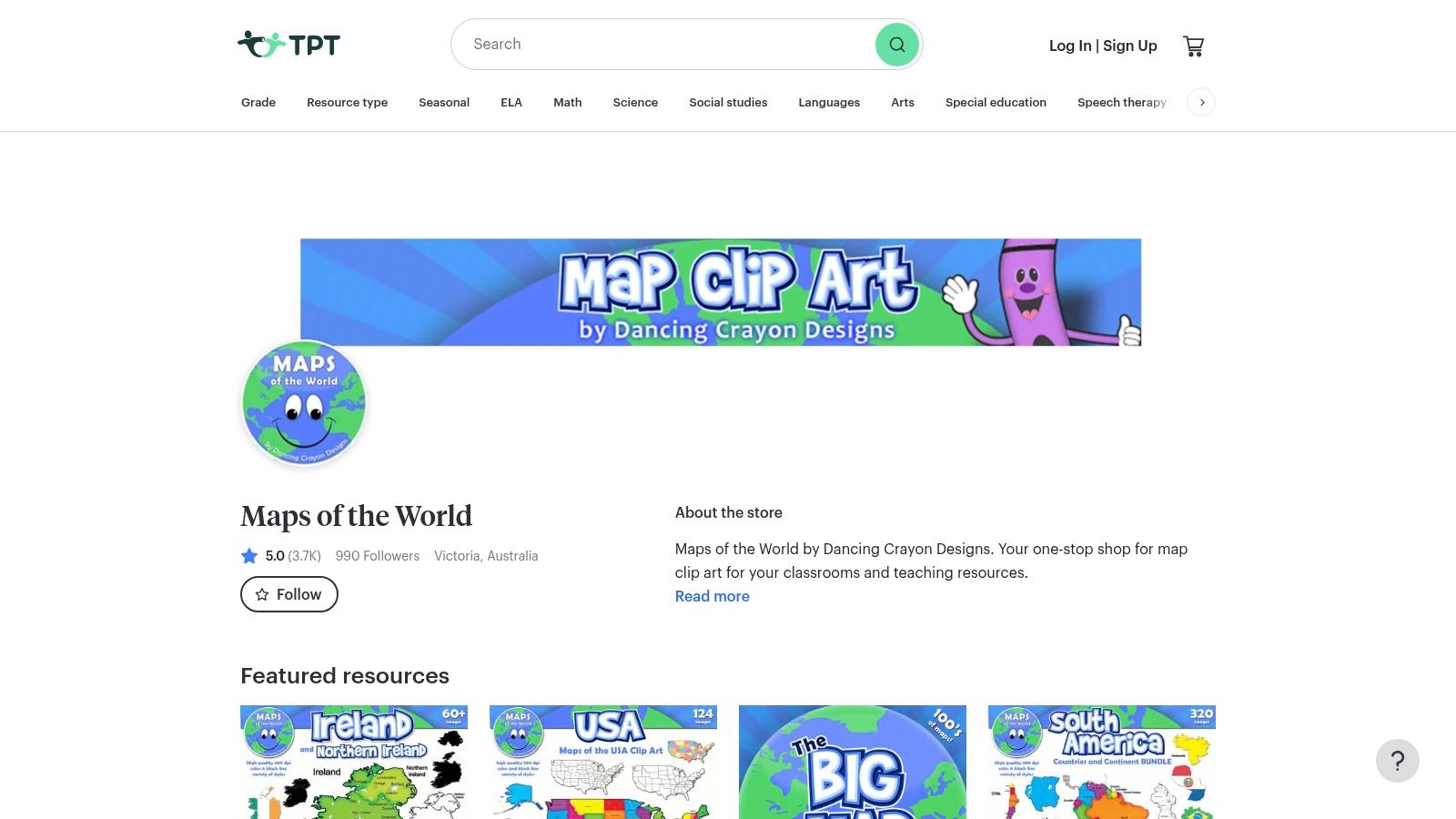
The platform’s user-driven nature means you can find highly specific and creative map styles, including clip art for commercial use or specialized worksheets for different grade levels. However, quality and format vary significantly between sellers, making it crucial to read reviews and check file previews before purchasing. While many resources are paid, the per-item pricing model allows you to buy exactly what you need without a subscription.
Key Features & Assessment
- Format: Varies by seller (PDF, PNG, SVG, Google Slides, etc.)
- Customization: Depends on the resource; many sellers offer editable versions.
- Best For: Finding unique, teacher-tested map activities and clip-art bundles.
- Licensing/Cost: Per-item pricing, set by individual sellers. Free resources are also available.
Practical Tip: Use the search filters for "free" and sort by "most rated" to find high-quality, no-cost maps. Many of these are perfect for a quick South America map quiz.
Link: Teachers Pay Teachers Map Store
5. FreeVectorMaps
FreeVectorMaps is a go-to resource for designers, educators, and professionals who need high-quality, scalable vector graphics. Its main advantage is providing a blank map of South America and Central America in editable formats like SVG, AI, and EPS. This makes it perfect for creating custom posters, high-resolution slide decks, or interactive digital worksheets where resizing without quality loss is essential.
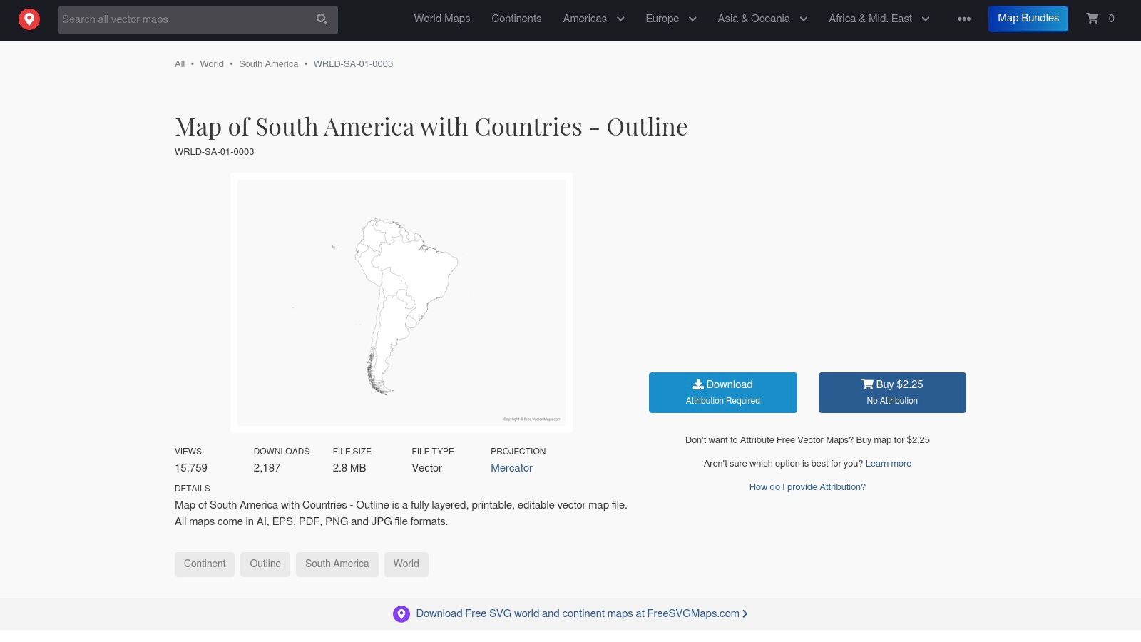
The platform operates on a clear licensing model: maps are free to use with proper attribution, or you can purchase a low-cost, one-time license for commercial or attribution-free projects. While the interface is geared more toward graphic designers than teachers, its professional-grade files offer unmatched flexibility. The primary drawback is that the file might not include detailed variants like individual country outlines unless specified.
Key Features & Assessment
- Format: Downloadable Vector (SVG, AI, EPS), PDF, JPG
- Customization: Fully editable in vector software (e.g., Adobe Illustrator, Inkscape)
- Best For: Professional design, large-format printing, and creating custom educational materials.
- Licensing/Cost: Free with attribution; a one-time fee (around $9.99) for a no-attribution license.
Practical Tip: Download the SVG file and use a free editor like Inkscape to isolate individual countries. You can then color-code them or add custom labels for a detailed regional study guide.
Link: FreeVectorMaps South America
6. Wikimedia Commons
Wikimedia Commons is the definitive source for free, high-quality media, including a vast repository of editable map files. Its key advantage is offering blank map of South America and Central America files in scalable vector graphic (SVG) format. This makes it the top choice for graphic designers, researchers, or anyone needing a map that can be heavily customized, resized without quality loss, and used in digital projects.
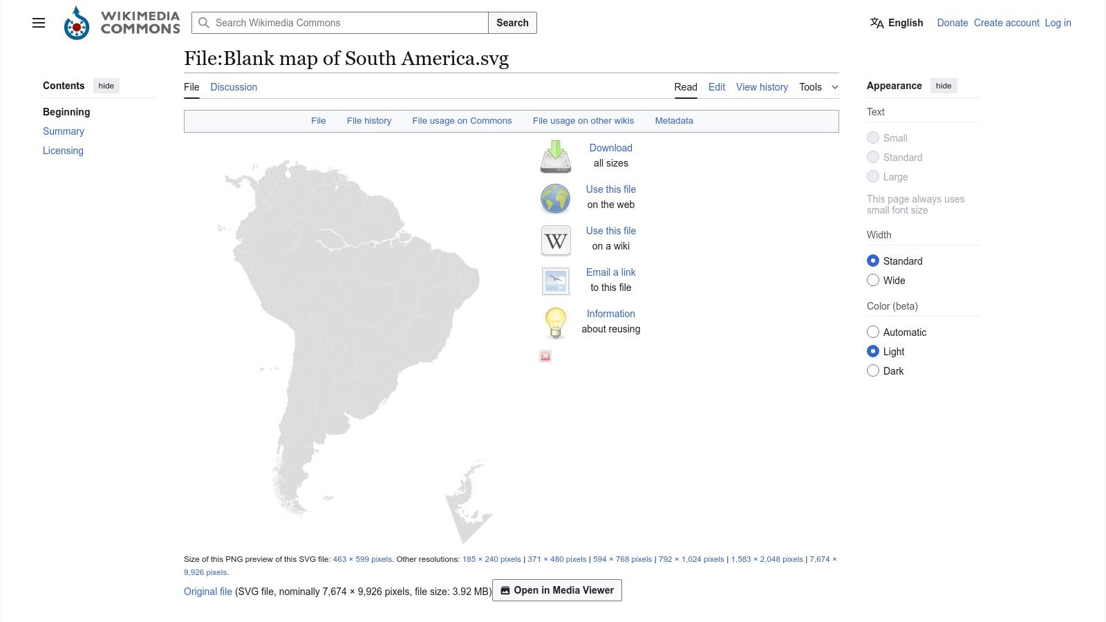
The platform is a community-maintained library, so the style and detail of maps can vary significantly. Users must check the specific licensing for each file, as some require attribution (giving credit to the creator), while others are fully in the public domain. The sheer volume and professional quality of the vector files available make it an unparalleled resource for those with technical or design needs who are comfortable using image editing software like Adobe Illustrator or Inkscape.
Key Features & Assessment
- Format: SVG, PNG, JPG (SVGs are most valuable)
- Customization: High (vector files are fully editable)
- Best For: Graphic design, digital projects, academic use, and creating custom printables.
- Licensing/Cost: Free; licenses vary from public domain to Creative Commons (check each file).
Practical Tip: Download an SVG file and use a free vector editor like Inkscape to isolate specific countries, change border colors, or add custom labels for a presentation.
Link: Wikimedia Commons South America Maps
7. Ultimaps
Ultimaps offers a modern, streamlined experience for users needing high-quality, customizable maps. Its core strength is providing high-resolution blank map of South America and Central America downloads in both PNG and SVG formats. A standout feature is the free, browser-based "Studio" editor, which allows for instant customization like changing colors or adding pins without requiring any software or sign-up.
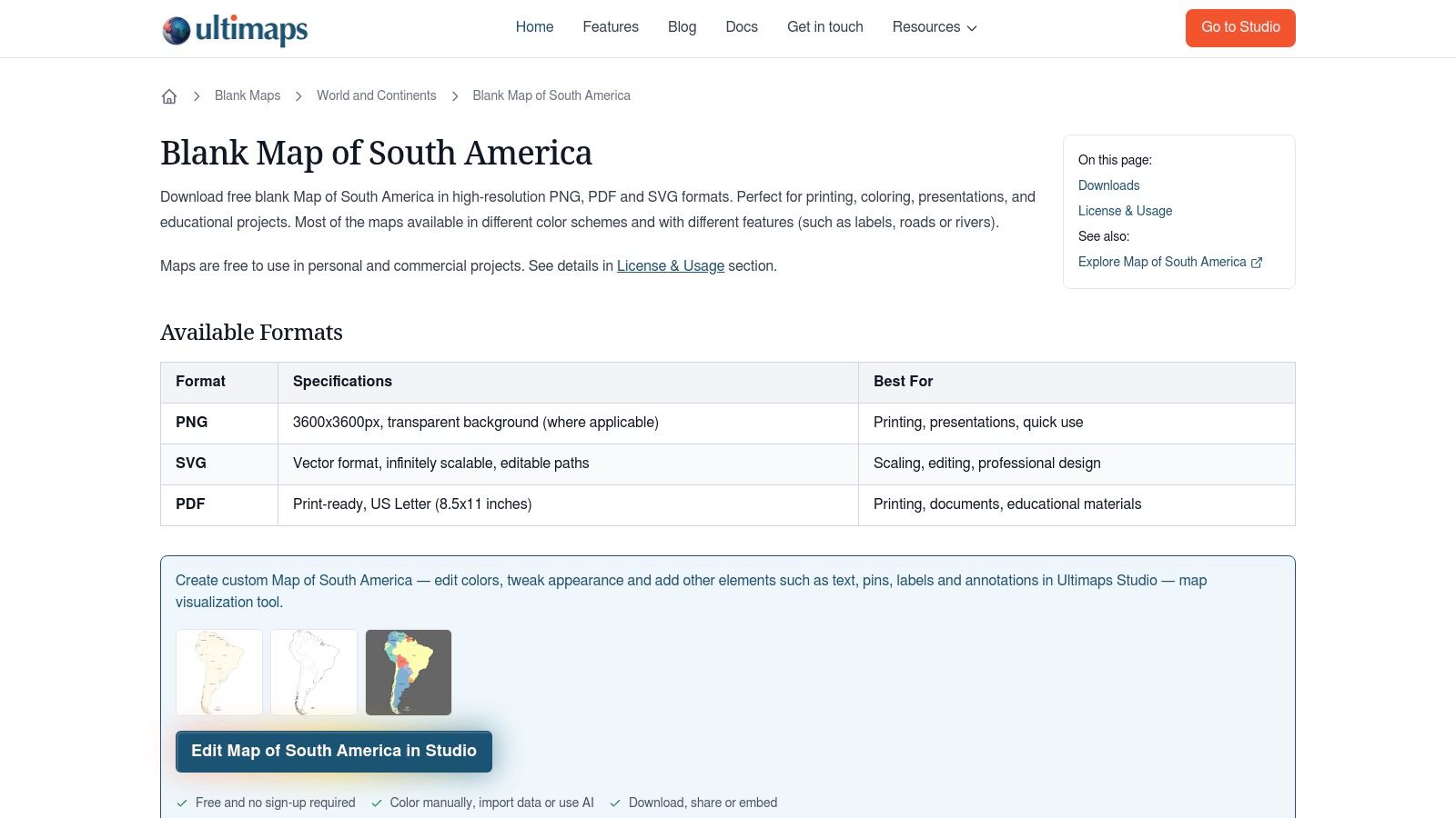
The platform is ideal for users who need a visually appealing map for presentations, projects, or educational materials quickly. The interface is exceptionally fast and intuitive. While the library is smaller than some established archives, the quality is consistently high. It's a fantastic choice for anyone who values ease of use and modern design over a vast, encyclopedic collection.
Key Features & Assessment
- Format: High-resolution PNG, SVG
- Customization: Full (via web-based Studio editor)
- Best For: Fast, modern map creation for digital projects and presentations.
- Licensing/Cost: Free for personal and educational use; check site for specific commercial licensing.
Practical Tip: Use the Studio editor to create a color-coded regional map. Assign a unique color to Central America, the Andean states, and the Southern Cone for a visually engaging study guide.
Link: Ultimaps Blank South America Map
8. PrintableWorldMap (FreePrintable.net network)
PrintableWorldMap, part of the extensive FreePrintable.net network, is designed for one purpose: providing fast, no-fuss printable maps. This platform excels at delivering a simple, high-contrast blank map of South America and Central America with just a single click. It is an ideal resource for educators or parents who need a map immediately for a classroom activity or homework assignment without navigating complex menus or customization tools.
The site offers both portrait and landscape orientations, catering to different handout formats. Its key advantage is its sheer simplicity and speed, making it a go-to for last-minute needs. The high download counts noted on the site suggest strong popularity within the education community. However, this simplicity means there are no options for customization, and users may encounter prompts to sign up for an email newsletter.
Key Features & Assessment
- Format: Printable PDF
- Customization: None (fixed portrait/landscape layouts)
- Best For: Last-minute classroom handouts, quick quizzes, and homework.
- Licensing/Cost: Free to download and print.
Practical Tip: Print the landscape version for students to draw and label major physical features like the Andes Mountains and the Amazon River alongside the political borders.
Link: PrintableWorldMap South America
9. FreeWorldMaps.net
FreeWorldMaps.net is a straightforward, no-frills resource that excels at providing practical, printable maps for quick use. Its main appeal is its collection of regional maps already sized for standard A4/Letter paper, making it an ideal destination for educators or anyone needing an immediate printout without wrestling with file conversions. The site offers both a political and a blank map of South America and Central America, available for instant download without an account.
The platform's design is utilitarian, focusing purely on function over aesthetics. While this means the maps aren't decorative or highly detailed, they are perfect for classroom handouts, study guides, or quick reference. The primary drawback is the lack of editable vector files; users are limited to non-configurable PDF and PNG formats. However, for those who simply need a reliable, free, and easy-to-print map, this site delivers exactly what it promises.
Key Features & Assessment
- Format: Printable PDF, PNG
- Customization: None (fixed layouts)
- Best For: Fast and easy printing of standard maps for classrooms and general reference.
- Licensing/Cost: Free for personal and educational use; no account required.
Practical Tip: Download both the blank and political versions. Have students fill in the blank map using the political one as a reference, then use the blank copy again for a quiz.
Link: FreeWorldMaps.net Central America Maps
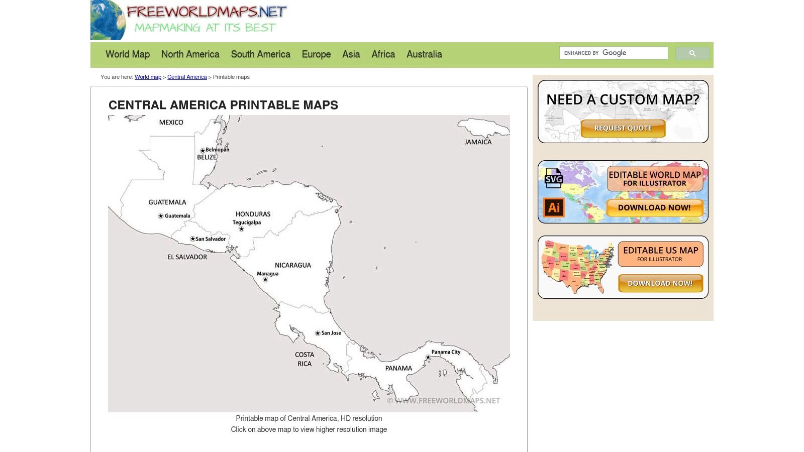
10. GISGeography
GISGeography is an authoritative resource known for its high-quality cartographic content and educational articles. While its scope is broad, it offers specific, well-designed blank maps that are perfect for academic or professional use. The platform provides a clean, high-contrast blank map of South America and Central America, with a particular focus on clear outlines for Central American countries, making it ideal for detailed study or classroom activities.
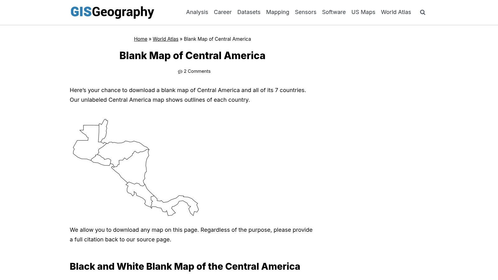
The site excels in providing practical, printable formats that are optimized for classroom handouts, quizzes, and coloring exercises. Each map is accompanied by guidance and contextual information, adding educational value. While the collection is more heavily weighted toward Central America than South America, the quality is top-notch. The primary drawback is the request for users to credit the source upon use, a minor but important consideration for commercial or public projects.
Key Features & Assessment
- Format: Printable PDF, PNG
- Customization: None (fixed layouts)
- Best For: Detailed study of Central America, classroom quizzes, and high-contrast printing.
- Licensing/Cost: Free to download for educational use; citation is requested.
Practical Tip: Pair the Central America outline map with one of GISGeography’s articles on regional geography to create a comprehensive lesson plan that combines map labeling with contextual learning.
Link: GISGeography Central America Maps
11. Zazzle
Zazzle is a print-on-demand marketplace that offers a unique solution for those needing a high-quality physical map. Instead of downloading and printing a file, you can order a ready-made blank map of South America and Central America as a professionally printed poster. This is ideal for educators wanting a large, durable map for classroom walls or for anyone looking for a decorative piece without the hassle of finding a local print shop.
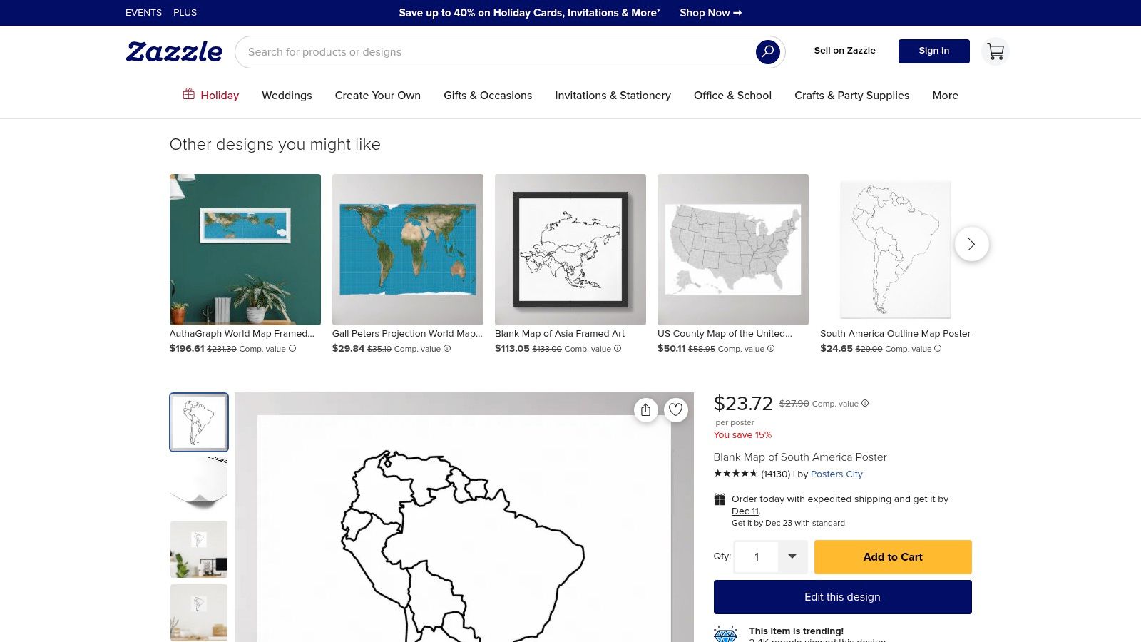
The platform allows you to choose from various poster sizes, paper types, and finishes, with options for framing and mounting. Because Zazzle hosts third-party sellers, the variety and quality can differ, so it's important to check seller reviews and product previews. The main draw is convenience; you get a finished product delivered directly to your door, perfect for immediate display or use in a shared space.
Key Features & Assessment
- Format: Physical printed posters
- Customization: Size, paper finish, framing, and mounting options are available.
- Best For: Classroom wall decorations, office displays, or anyone wanting a physical map without self-printing.
- Licensing/Cost: Varies by seller and product specifications (size, framing). Shipping costs apply.
Practical Tip: Before ordering a large poster, check the product preview carefully and read seller reviews to ensure the map's resolution and print quality meet your standards.
Link: Zazzle South America Map Poster
12. Etsy
Etsy is a global marketplace that serves as a treasure trove for unique, handcrafted, and digital goods from individual sellers. Its strength lies in the sheer variety and affordability of instant-download printables, including a blank map of South America and Central America. Users can find everything from simple black-and-white outlines to stylized map bundles perfect for one-off classroom projects, homeschool activities, or DIY crafts.
The platform offers an excellent alternative to stock resource sites, often at a lower cost for a single map file. Since each seller is different, quality, resolution, and included file types (PDF, PNG, JPG) vary significantly. It is crucial to read item descriptions and seller reviews carefully before purchasing to ensure the map meets your needs. The instant download model provides immediate access upon payment.
Key Features & Assessment
- Format: Printable PDF, PNG, JPG (varies by seller)
- Customization: None (fixed digital files)
- Best For: Budget-friendly classroom worksheets, one-time project needs, and unique map styles.
- Licensing/Cost: Low-cost, one-time purchases (typically $1-$5 per file or bundle); licensing terms are set by individual sellers.
Practical Tip: Use Etsy's search filters to narrow down results by "Instant Download" and file type (e.g., "South America map PDF") to quickly find ready-to-print resources.
Link: Etsy South America Map Listings
Blank Maps of South & Central America — 12-Resource Comparison
| Resource | Core features ✨ | Quality / UX ★ | Pricing / Value 💰 | Best for 👥🏆 |
|---|---|---|---|---|
| Super Teacher Worksheets | Curriculum-friendly printable map PDFs (blank/labeled/activities) ✨ | Reliable K–6 layouts ★★★★ | Some free pages; most content behind membership 💰subscription | Elementary teachers; quick handouts 👥 |
| Twinkl | Teacher-made printables, editable options, curriculum-aligned bundles ✨ | Large classroom-tested library ★★★★★ | Subscription for most resources 💰subscription | KS2/elementary planning & displays 🏆 |
| Education.com | One-page practice & label‑and‑research worksheets; standards tags ✨ | Student-friendly handouts ★★★★ | Free + premium content 💰free/premium | Quick practice, assessments 👥 |
| Teachers Pay Teachers | Marketplace of PDFs/PNG/SVGs; seller previews & reviews ✨ | Quality varies by seller — check previews ★★★ | Per-item purchases; can add up 💰pay-per-item | Niche/teacher-created packs and clip art 👥 |
| FreeVectorMaps | Designer-grade SVG/AI/EPS vectors; high-res cartography ✨ | Professional print/design quality ★★★★ | Free with attribution or low one-time no‑attribution fee 💰free/one-time | Designers & editable resources 🏆 |
| Wikimedia Commons | Public-domain & CC SVGs; editable vectors with license tags ✨ | Wide variety; style/quality varies ★★★ | Free (license terms may require attribution) 💰free | Open-source use & customization 👥 |
| Ultimaps | High-res PNG/SVG + web Studio editor to recolor/add pins ✨ | Fast modern interface; easy in-browser edits ★★★★ | Free basic downloads & editor 💰free | Quick custom worksheets; no sign-up edits 🏆 |
| PrintableWorldMap | One-click printable PDFs with orientation options ✨ | Simple, high-contrast layouts ★★★ | Free; minimal friction (may prompt newsletter) 💰free | Last-minute classroom handouts 👥 |
| FreeWorldMaps.net | Printable regional PDFs (A4/Letter), blank & political variants ✨ | Utilitarian, printer-friendly layouts ★★★ | Free downloads; no account needed 💰free | Standard printable classroom maps 👥 |
| GISGeography | Unlabeled/outline variants with guidance and high contrast ✨ | Practical layouts optimized for quizzes ★★★★ | Free (requests citation) 💰free | Assessments & teacher guidance 👥 |
| Zazzle | Print-on-demand posters with size/finish/framing options ✨ | Physical product quality varies by seller ★★★ | Paid per poster + shipping 💰paid | Classroom wall maps & physical posters 👥 |
| Etsy | Instant-download printables (PDF/PNG) from multiple sellers ✨ | Varied resolution & style; check previews ★★★ | Low-cost per listing; variable licensing 💰low-cost | Budget one-off projects & bundles 👥 |
Choosing and Using Your Map Effectively
Navigating the vast landscape of online resources can be overwhelming, but this curated list of 12 top-tier providers equips you with everything needed to find the perfect blank map of South America and Central America. We've journeyed from comprehensive educational platforms like Super Teacher Worksheets and Twinkl, ideal for structured classroom activities, to the highly flexible and scalable vector archives of FreeVectorMaps and Wikimedia Commons, which are perfect for graphic designers and content creators.
The key takeaway is that the "best" map is entirely dependent on your specific goal. There is no single solution that fits all scenarios. Your project's requirements should be the primary factor guiding your choice.
How to Select the Right Map for Your Project
To make the best decision, start by asking yourself a few critical questions:
- What is my primary use case? Are you printing a simple quiz for a classroom, creating a high-resolution poster, or developing a custom digital presentation? A quick printable from PrintableWorldMap is excellent for the quiz, while an SVG from GISGeography is far better suited for the poster.
- Do I need to edit the map? If you plan to add custom labels, change color schemes, or isolate specific countries, you must choose an editable format. Vector files (.SVG, .AI, .EPS) are essential for this level of customization and are the specialty of sources like Ultimaps.
- What are the licensing restrictions? This is a crucial, often-overlooked step. For personal or classroom use, most free resources are fine. However, for commercial projects, blogs, or public distribution, you must carefully check the usage rights. Wikimedia Commons is often a great starting point for its clear Creative Commons licensing.
Integrating Maps for Deeper Engagement
Remember that a blank map is a starting point, not an endpoint. It serves as a canvas for learning, exploration, and creativity. For educators and parents, the real value emerges when you combine these static tools with dynamic, interactive experiences. A student who has just labeled the countries on a worksheet can solidify that knowledge by immediately trying to locate those same countries in a fast-paced digital game.
This blended approach transforms a simple memorization task into a more meaningful and lasting cognitive connection. By bridging the gap between a physical blank map of South America and Central America and an interactive digital environment, you cater to different learning styles and reinforce geographical concepts far more effectively than either method could alone. The journey from a blank outline to a richly understood region is what makes geography so compelling.
Ready to put your newly-mapped knowledge to the test? Move beyond static pages and dive into an interactive world with EarthChasers. Our immersive geography games challenge you to pinpoint locations across the globe, turning the regions you've studied on your blank map of South America and Central America into an exciting, hands-on adventure. Explore the world and challenge your friends at EarthChasers today