north africa map quiz: Quick study hacks to win
Ace the north africa map quiz with proven study methods, memory aids, and practice drills to master the region's geography fast.
The secret to crushing any North Africa map quiz isn't just brute-force memorization. It’s about building a solid mental map before you even start drilling. Think of it like a military briefing: you need to understand the terrain and the key players first. Once you see the region’s core layout—connecting countries to landmarks like the Mediterranean coast and the vast Sahara Desert—everything else clicks into place.
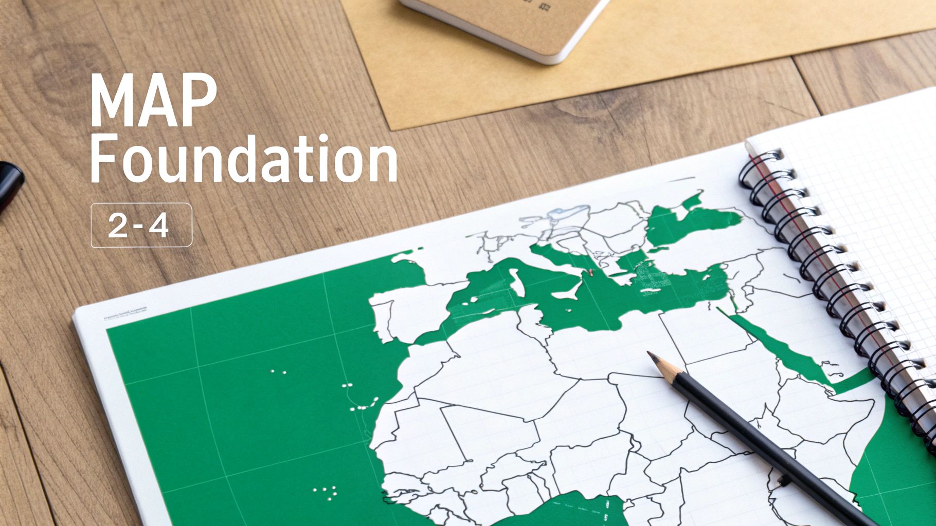
Your Foundation for Acing the North Africa Map
Feeling a little lost when you look at a blank map of North Africa? Let's fix that. Before we get into memory tricks or timed quizzes, the first step is to get a solid, basic handle on the countries that define this region. This isn't about perfectly tracing every border just yet. It's about building your strategic overview so you can approach any quiz with confidence.
Instead of seeing abstract shapes, start thinking of this region as a collection of distinct personalities, each with its own place and story.
The Core Countries to Know
North Africa is dominated by six key countries that will almost certainly appear on any quiz: Algeria, Egypt, Libya, Morocco, Sudan, and Tunisia.
By focusing on just these six, you give yourself a manageable starting point. This prevents the classic mistake of trying to learn too much at once and getting completely overwhelmed.
To put them in perspective, Algeria is the geographical giant here, covering nearly 2.38 million square kilometers. Meanwhile, Egypt is the population powerhouse, with an estimated 118.4 million people in 2025.
If you're looking for more ways to structure your learning, check out our guide on how to study geography.
The goal isn't just to list names. It's to create a mental map where each country has a logical place. For instance, you can group Morocco, Algeria, and Tunisia as the "Maghreb" countries lining the western Mediterranean coast.
North Africa At a Glance Country and Capital Quick Reference
To get you started right away, here’s a quick-reference table. Use it to connect each country with its capital and a simple, memorable fact. This kind of basic association is a powerful first step in building the mental connections you need for quick recall.
| Country | Capital City | Key Fact |
|---|---|---|
| Algeria | Algiers | Africa's largest country by land area. |
| Egypt | Cairo | Famous for the Nile River and ancient pyramids. |
| Libya | Tripoli | Primarily desert, with a long Mediterranean coastline. |
| Morocco | Rabat | Borders both the Atlantic Ocean and Mediterranean Sea. |
| Sudan | Khartoum | Located where the Blue and White Nile rivers meet. |
| Tunisia | Tunis | The northernmost country in Africa. |
Keep this table handy as you begin studying. It's the perfect cheat sheet for building that foundational knowledge we've been talking about.
Connecting Countries to Physical Landmarks
Staring at a political map and trying to memorize a bunch of seemingly random lines can be incredibly frustrating. The key to truly mastering any North Africa map quiz is to stop seeing the region as a puzzle of abstract shapes. Instead, think of it as a living landscape where history and geography collide.
The borders you see today are often a direct result of both natural features and historical events.

You'll notice some unnaturally straight lines, especially in the desert. Many of these modern boundaries were drawn by European colonial powers like France, Italy, and Britain. But nature played a massive role, too. The Sahara Desert, a staggering 9.2 million square kilometers, acts as a natural separator, while other features serve as anchors. For a deeper dive into this mix of geography and history, Britannica.com offers great historical context on North Africa.
Using Mountains as Natural Spines
One of the best ways to get your bearings is by using major mountain ranges as guideposts. They're like the skeleton that gives the region its fundamental shape.
The Atlas Mountains are your most important landmark in the northwest. This massive range isn't just in one country; it stretches for about 2,500 kilometers across three nations, forming a rugged, natural boundary.
- Morocco: The range kicks off here, running along its Atlantic and Mediterranean coasts.
- Algeria: It then pushes eastward, dominating the northern part of the country.
- Tunisia: Finally, the range tapers off in Tunisia, defining its northern landscape.
Once you visualize this mountain chain, you can instantly lock in the relative positions of Morocco, Algeria, and Tunisia. They stop being three random countries in a line and become the three nations that share the Atlas spine.
Tracing Rivers and Coastlines
Rivers and coastlines are the lifeblood of a region, making them fantastic memory aids. Their clear, flowing lines are far easier to remember than jagged, artificial borders.
The Nile River, for example, is practically synonymous with Egypt. If you can trace the path of the world's longest river as it flows north into the Mediterranean, you've found Egypt's core. Sudan sits directly to the south, sharing the upper parts of this critical waterway. That connection makes their placement feel logical and much harder to forget.
Pro Tip: Don't just see the river as a blue line on a map—visualize its importance. Nearly 95% of Egypt's population lives within a few kilometers of the Nile. This single fact transforms the river from an abstract line into the very heart of a nation, cementing that connection in your mind.
Similarly, use the long coastlines as anchors. Libya has one of the longest Mediterranean coastlines in North Africa. Picture its huge desert interior meeting that long, northern stretch of sea. This simple mental image helps distinguish it from its neighbors and solidifies its position on the map.
By linking countries to these powerful, unchangeable landmarks, you're building a durable mental framework that makes recall during a quiz feel almost second nature.
Proven Memory Techniques for Geographic Recall
Just staring at a map and hoping it all sinks in is a surefire way to get frustrated. To really nail a North Africa map quiz, you need to get your brain actively involved with a few proven recall strategies. Let's ditch the painful rote memorization and explore some techniques that actually build strong, lasting mental connections.

The big idea here is to turn abstract shapes and names into something more concrete and memorable. It’s all about breaking down the information and giving your brain simple, effective hooks to grab onto.
Grouping with Chunking
One of the most powerful psychological tricks for learning is chunking. You just take a big pile of information and break it into smaller, related groups. North Africa is absolutely perfect for this. Instead of trying to cram six individual countries into your head, you can group them logically.
A perfect example is the Maghreb region, which is a natural chunk:
- Morocco
- Algeria
- Tunisia
These three countries create a neat, tidy line along Africa's northwestern coast. By thinking of them as a single unit—the "Maghreb chunk"—you only have to remember one concept instead of three separate locations. This instantly simplifies the map and lightens the cognitive load. You can do the same thing with Egypt and Sudan, which are forever linked by the Nile River.
Creating Memorable Mnemonics
Mnemonics are just little memory tricks that use patterns, rhymes, or associations to help you remember stuff. They work because our brains are wired to remember silly stories and phrases far better than dry, disconnected facts.
Let’s cook up a simple one to remember the northern coastal countries from west to east: My Aunt Told Little Eddie.
- My - Morocco
- Aunt - Algeria
- Told - Tunisia
- Little - Libya
- Eddie - Egypt
That little sentence is way easier to recall under pressure than a random list of names. The trick is to make it vivid and personal so it really embeds itself in your memory.
A great mnemonic turns abstract data into a simple narrative. Your brain latches onto the story, and the geographical information comes along for the ride. The sillier the sentence, the more memorable it often becomes.
Building a Mental Memory Palace
Ready to level up? The memory palace (also known as the Method of Loci) is an ancient technique where you mentally place information in a familiar physical location, like your house or apartment. For North Africa, you could take a mental walk through your home and "place" each country in a different spot.
For instance, you might put Morocco at your front door, since it’s the "gateway" to North Africa from the Atlantic. As you walk into your living room—the biggest room in the house—you find Algeria, the largest country in the region. The small hallway next to it could be Tunisia. Suddenly, the flat map becomes an interactive, three-dimensional journey inside your own mind.
To get the most out of these techniques, it helps to understand a bit about how we learn best. Digging into concepts like mastering adult learning principles can really help turn passive studying into an active, engaging process that delivers real results.
Sharpening Your Skills With Practice Drills
Knowing the countries and capitals is a great start, but the real test is recalling that information quickly under pressure. This is where you need to shift from just reviewing the map to actively quizzing yourself. These drills are designed to simulate real quiz conditions, building both your speed and your confidence.
The goal is simple: move from recognizing the answer to retrieving it from scratch. Trust me, this hands-on approach is the fastest way to find your weak spots and fix them before the real North Africa map quiz.
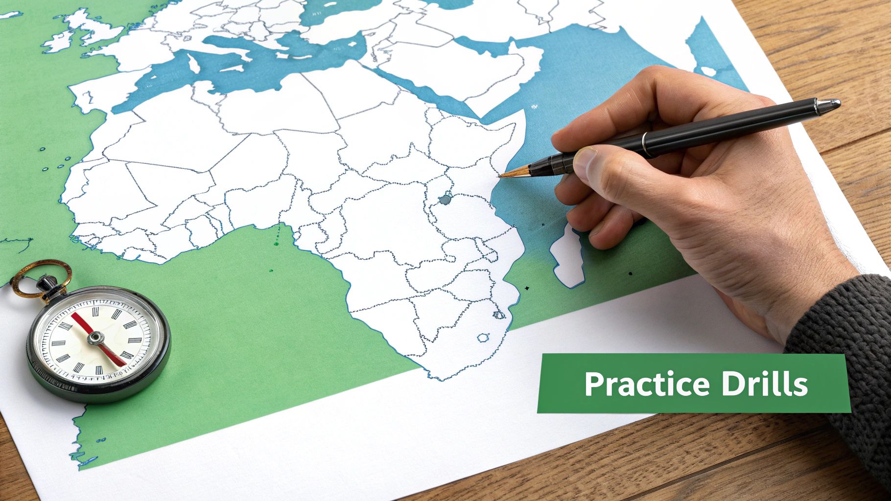
The Blank Map Challenge
This is the classic, old-school method for a reason—it works. Grab a blank map and see what you can fill in from memory alone. This isn't just about labeling; you’re literally reconstructing the entire region from your mental picture of it.
Start with the big stuff:
- Label the Countries: Can you correctly place all six core North African nations?
- Place the Capitals: Drop a dot for each capital city and write its name.
- Draw Key Landmarks: Sketch in the general shape of the Atlas Mountains and trace the path of the Nile River.
This exercise is incredibly revealing. You’ll know in minutes what you actually know versus what you just thought you knew. If you need a good map to get started, grab this high-quality printable blank map of Africa and get practicing.
Going Beyond Simple Identification
A well-designed quiz won’t just ask you to point to Morocco. It will push you to understand the relationships between different places. You need to practice questions that force you to think about how these countries and features connect.
This is where true mastery is built. It’s not just about knowing where Libya is; it’s about understanding its relationship to its neighbors, its coastline, and its place within the larger region.
To give you a taste, I’ve put together a few sample questions below. Work through them, but don’t just look for the right answer. The real learning happens when you figure out why an answer is correct, especially for the ones you get wrong.
North Africa Practice Quiz Questions
Use this short quiz to test your deeper geographical knowledge. The answers are right there, but give it your best shot before peeking. This type of critical thinking is exactly what you need to ace a tough quiz.
| Question Number | Question | Answer |
|---|---|---|
| 1 | Which North African country borders both the Mediterranean Sea and the Red Sea? | Egypt |
| 2 | Name the capital of the country located directly between Libya and Algeria. | Tunis (Tunisia) |
| 3 | What major mountain range serves as a natural spine for Morocco and Algeria? | The Atlas Mountains |
| 4 | Which two North African countries are directly connected by the Nile River? | Sudan and Egypt |
| 5 | If you travel due south from Italy across the Mediterranean, which large country do you hit first? | Libya |
How did you do? Each question is designed to make you visualize the map and the connections within it. Keep running drills like these, and you'll be more than ready.
Bringing the Map to Life with Cultural Context
Embedded content
To make your knowledge of North Africa truly stick, you need to see beyond the lines on the map. It's about understanding the human story behind the geography.
Memorizing borders is a great start, but connecting those lines to the people who live there transforms abstract shapes into vibrant, living places. Adding a layer of cultural and demographic context is the secret weapon for acing your North Africa map quiz.
This deeper understanding helps explain the "why" behind what you see. Take Egypt, for instance. It's a massive country, but nearly all of its 100+ million people live in that narrow, fertile ribbon along the Nile River valley and its delta. Knowing this one fact makes Egypt’s shape and core location on the map suddenly feel logical and much easier to remember. The rest is mostly empty desert.
People and Places
Demographics add another crucial layer to the story. Across North Africa, the population is incredibly young, with a huge percentage under the age of 25.
This "youth bulge" is a powerful force shaping the region's future. It’s driving rapid growth in major urban centers like Cairo, Casablanca, and Algiers. When you see those dots on a map, don't just see a city name—picture a bustling, expanding hub of activity, teeming with young people.
Connecting geography to how and where people live builds a more resilient and nuanced mental map. It gives you the context to answer tougher quiz questions that go beyond just naming places.
For a practical glimpse into the region's climate and culture, check out guides on what to pack for Morocco. This kind of real-world info offers subtle clues about the environment and daily life.
Weaving a Cultural Tapestry
Adding a bit of culture makes the learning process far more engaging and memorable. Think about the ancient history of Sudan's Nubian pyramids or the unique Amazigh (Berber) heritage that stretches across Morocco, Algeria, and Libya.
These cultural threads don't stop at the political borders you're memorizing. Instead, they weave across them, creating a richer, more interconnected picture of the region. It helps you see North Africa not as a collection of separate countries, but as a dynamic cultural landscape.
This approach—linking geography with human elements—is central to truly understanding the world. You can explore this idea further in our guide on the major cultural regions of the world.
When you appreciate the human stories behind the map, you aren't just cramming for a quiz. You're gaining a more respectful and lasting understanding of North Africa. And when information is meaningful, it's a whole lot easier to recall when it counts.
Got Questions About the North Africa Quiz?
Even after a solid study session, a few nagging questions can pop up right before you take your North Africa map quiz. Let's clear the air and tackle the most common points of confusion so you can walk in feeling 100% ready to go.
A question I hear all the time is, "Which countries have to be on the quiz?" While instructors can technically include anything, the non-negotiable core six are Morocco, Algeria, Tunisia, Libya, Egypt, and Sudan. Nail these down first. They are the geographical and political heart of the region, and you can bet they'll be there.
Then there's the question of disputed territories, which almost always means Western Sahara. This area just south of Morocco has a complex political status. For your quiz, the most important thing is to know its location and recognize that it's often shown with a dotted or dashed border to signify its contested status. Don't be surprised if a quiz asks you to identify it by name.
Where to Find the Best Practice Quizzes
So, what's the best way to drill this stuff online? You'll find tons of geography quiz sites, but the most effective ones let you customize the practice session. You want a tool that lets you isolate only North Africa instead of throwing the whole continent at you.
Here's what to look for in a top-notch practice tool:
- Region-Specific Drills: The option to focus exclusively on North Africa.
- Different Question Styles: Quizzes that mix it up by asking for countries, capitals, and even major landmarks.
- A Ticking Clock: Timed challenges are great for mimicking real test pressure and improving your speed.
- Instant Corrections: The best tools show you what you missed and why, helping you learn from your mistakes right on the spot.
A killer combo I've seen work time and again is pairing blank map exercises with interactive online quizzes. Drawing on the blank map builds your recall from scratch, while the online tools sharpen your speed and lock in that knowledge.
Dodging Those Common Trick Questions
Finally, let's talk about trick questions. Yes, they exist! Instructors love to use them to see if you've moved beyond just memorizing shapes on a map. These questions usually test your understanding of where countries are in relation to each other.
Get ready for curveballs like these:
- "Which country is the northernmost in Africa?" (That would be Tunisia)
- "Name the two countries that share the longest border in North Africa." (Within our core six, the border between Algeria and Libya is a big one.)
- "Which capital city is located on the Atlantic coast?" (The answer is Rabat, Morocco.)
These kinds of questions force you to really visualize the map in your head. By anticipating them, you're not just memorizing—you're demonstrating true geographic mastery. Practicing these tricky scenarios is the best way to ensure nothing catches you off guard.
Ready to put your skills to the test in a totally different way? EarthChasers brings geography to life with immersive 3D maps and engaging games. Explore our platform to sharpen your knowledge and see your progress soar.